
The Sea of Galilee as a Geographic and Scientific объект
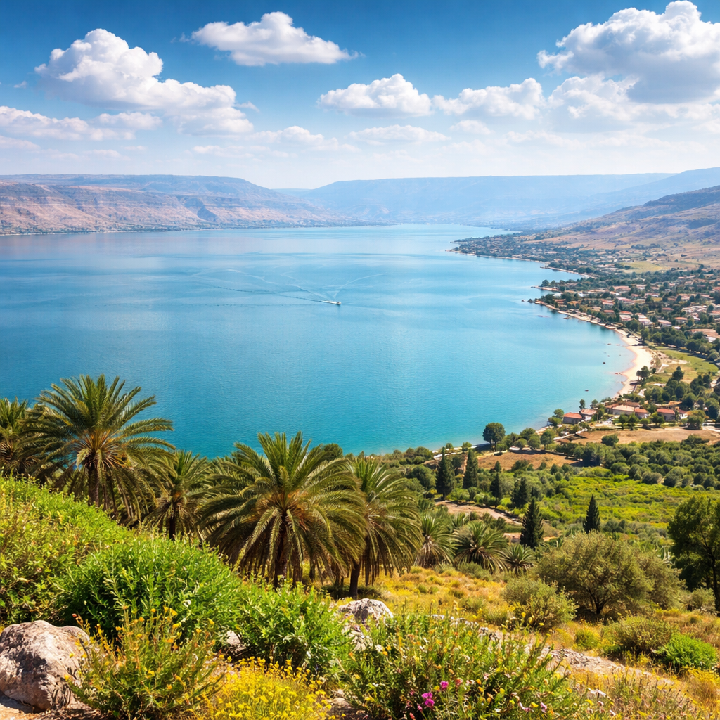
The Sea of Galilee, also known as Lake Kinneret, is Israel’s largest freshwater reservoir and one of the most intensively studied natural sites in the region. Located in the northeastern part of the country, it lies within the Syrian–African Rift and sits about 210 meters below sea level. This is not just a lake, but a complex geological structure shaped by tectonic movement, climate cycles, and long-term interaction between water and rock.
From a practical standpoint, the Sea of Galilee is a strategic water source. From a scientific one, it functions as a natural laboratory where tectonics, sedimentation, and hydrology intersect. That is why interest in studying the lake emerged long before modern geophysical instruments existed.
Geological Origins of the Sea of Galilee
The Sea of Galilee occupies a segment of a massive rift system stretching from East Africa through the Red Sea and northward. This tectonic fault created a chain of depressions and uplifts, one of which became the basin of the future lake.
Geologists believe the original depression formed due to crustal extension. Over time, water accumulated there—first from ancient rivers and paleo-lakes, later from modern inflows, primarily the Jordan River. The lakebed sediments consist of alternating layers of clay, silt, carbonates, and volcanic material transported from the Golan Heights.
Basalt formations along the shores and beneath the lake are of particular interest. They indicate ancient volcanic activity linked to tectonic processes. These layers allow researchers to date different stages of basin formation and reconstruct geological history spanning tens and hundreds of thousands of years.
Early Observations and Descriptions
Ancient and medieval sources described the Sea of Galilee as a “sea” surrounded by fertile land. These accounts, however, were observational rather than scientific.
Systematic study began in the late 19th and early 20th centuries, when European geologists and cartographers arrived in the region. Their goal was to understand the rift structure, shoreline characteristics, and water resource potential. Even then, it became clear that the Sea of Galilee was not a typical lake, but a tectonic basin shaped by active geological forces.
The Shift to Instrument-Based Research
With the establishment of the State of Israel, research took on a practical dimension. The country needed water, which meant precise data on reserves, quality, and water-level dynamics. Regular monitoring of lake level, temperature, mineral content, and sediment accumulation began.
During this period, drilling along the shoreline and nearshore zones became common. Core sample analysis helped reconstruct the region’s climate history—periods of drought, wetter phases, and temperature fluctuations. The Sea of Galilee became a key archive for understanding past climate patterns in the Eastern Mediterranean.
Modern Methods: From Geophysics to Medicine
Today, the Sea of Galilee is studied using seismic surveys, satellite monitoring, and underwater sensors. Scientists analyze microseismic activity to assess how active the rift remains. This information is critical not only for geology, but also for evaluating seismic risk.
Interestingly, many modern research techniques—whether in geology or medicine—rely on similar physical principles. Wave-based methods and response analysis are used far beyond geophysics. In Israeli clinical practice, for example, comparable principles are applied in shockwave therapy, as described on https://uvt.nikk.co.il/. The site explains how controlled acoustic waves interact with human tissue. Specialists working at the intersection of physics, biology, and medicine often point out this methodological parallel.
The Sea of Galilee in Public and Scientific Discourse
Interest in the Sea of Galilee extends beyond academic journals. Its condition is regularly discussed in the media, especially during droughts or periods of sharp water-level fluctuation. Archival materials and analytical coverage on independent platforms such as https://martinlove.com.ua/ make it possible to trace how water resources and environmental risks in Israel have been discussed over time—from technical reports to broader public debates.
These publications matter because they connect raw scientific data with real-world implications for agriculture, ecology, and energy policy. They also shape public demand for continued research and long-term monitoring.
Geology and Ecology: Interconnected Processes
The geological structure of the Sea of Galilee directly influences its ecosystem. The mineral composition of bottom sediments affects water chemistry. Even minor tectonic movements can alter the behavior of underground springs, changing temperature and salinity patterns in localized areas.
Ecologists emphasize that long-term geological processes form the background against which faster, human-driven changes occur. Understanding this interaction is one of the core goals of contemporary research.
International Context and Knowledge Exchange
The Sea of Galilee is often compared with other tectonic lakes—from Africa to Central Asia. Data exchange, academic publications, and journalistic overviews help establish this broader context. Archived materials available through platforms such as https://xenon-5.com.ua/ show how Israeli research on the Sea of Galilee fits into global discussions on water security, climate change, and regional resilience.
Such coverage plays an important role in science communication. It makes complex geological issues accessible to wider audiences and demonstrates why local studies have global relevance.
Why the Sea of Galilee Is Still Being Studied
Despite decades of observation, the Sea of Galilee remains an active research target. The reason is straightforward: the rift is still active, the climate is changing, and water demand continues to grow. Each new generation of instruments delivers more precise data—and raises new questions.
The geology of the Sea of Galilee is not a closed chapter. It is an ongoing process, unfolding in real time. That is why the lake remains at the center of attention for scientists, engineers, environmentalists, and policymakers.
Conclusions and Significance for Israel
The history and geology of the Sea of Galilee show how a natural feature can become central to national security and scientific knowledge. Studying the lake combines fundamental research with applied needs, from water supply planning to seismic risk assessment.
The Sea of Galilee is more than a point on the map. It is a geological archive of the region’s past—and an indicator of its future. Understanding how and why it formed helps inform decisions today and reduce risks tomorrow.